
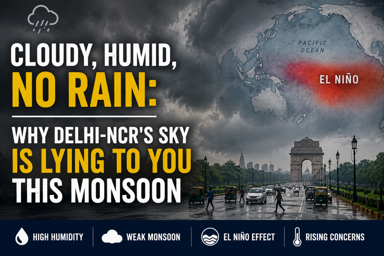
Grey clouds, sticky air, and no rain. Delhi-NCR's unusual weather isn't just frustrating—it could be a warning sign of a changing monsoon driven by El Niño and climate change.
For the last several days, Delhi-NCR has been waking up to a sky covered with thick grey clouds. By afternoon, the air feels unusually heavy, yet the much-expected rain never arrives. This is not just a temporary weather quirk. It reflects a changing monsoon pattern that climate scientists believe will become more frequent, and possibly more severe, over the rest of this decade.
The Sky That Promises but Never Delivers
Overcast skies without rainfall create a unique kind of discomfort. Thick cloud cover traps heat close to the ground instead of allowing it to escape during the night. At the same time, moisture continues to rise through evaporation from the soil, rivers, lakes, and other water bodies. Without rainfall to release that moisture, humidity keeps increasing.
The result is the sticky, exhausting weather that people across Delhi-NCR are currently experiencing. Even when temperatures are similar to those during a dry heatwave, the high humidity makes conditions feel much more oppressive.
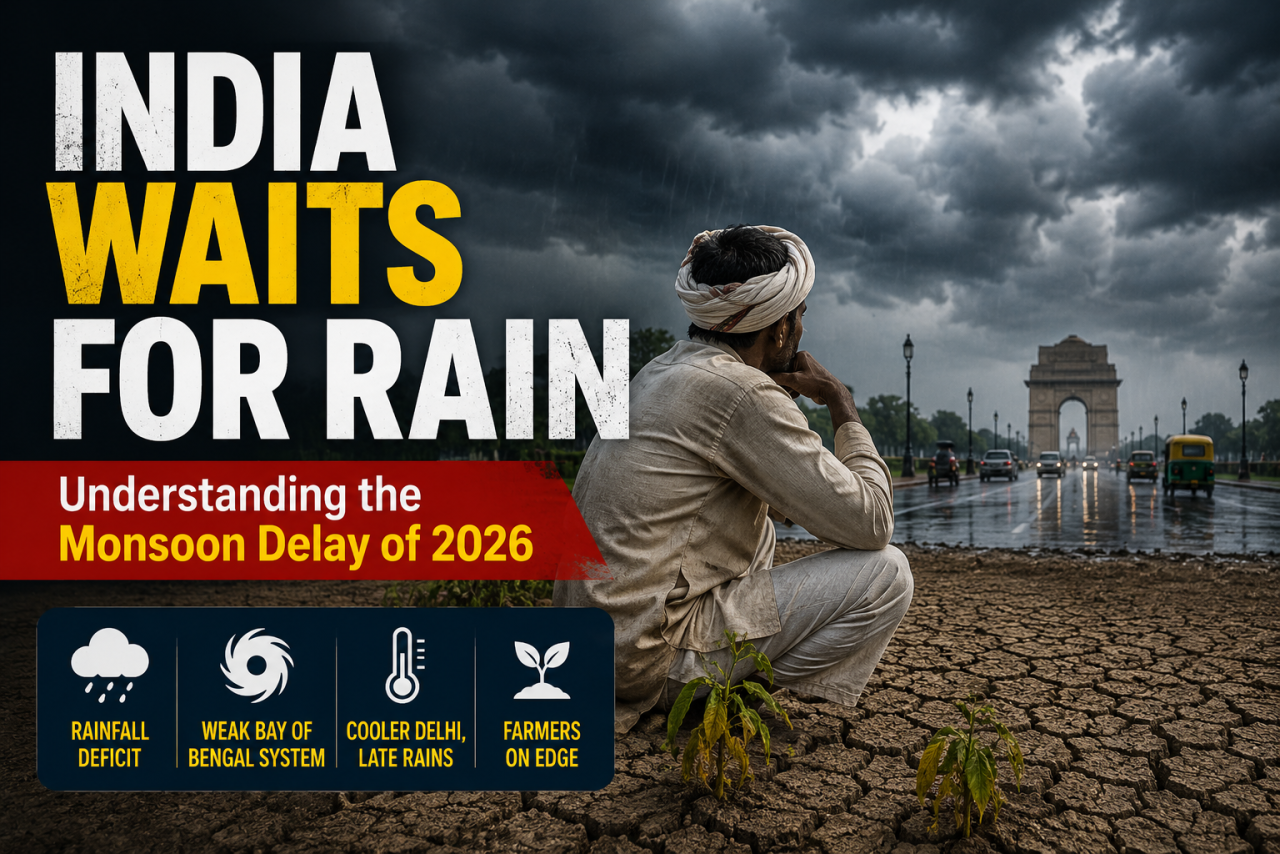
This year, the southwest monsoon over northern India has remained weak and uneven. Long dry spells have been interrupted by sudden bursts of heavy rainfall in some regions, while others, including Delhi-NCR, have endured days of moisture-laden air without meaningful rain. This uneven pattern reflects what climate scientists have warned about for years. Rainfall is becoming increasingly unpredictable in both timing and location, even when the season's total rainfall appears close to normal.
The El Niño Connection
Behind this instability lies a much larger force operating thousands of kilometres away in the Pacific Ocean.
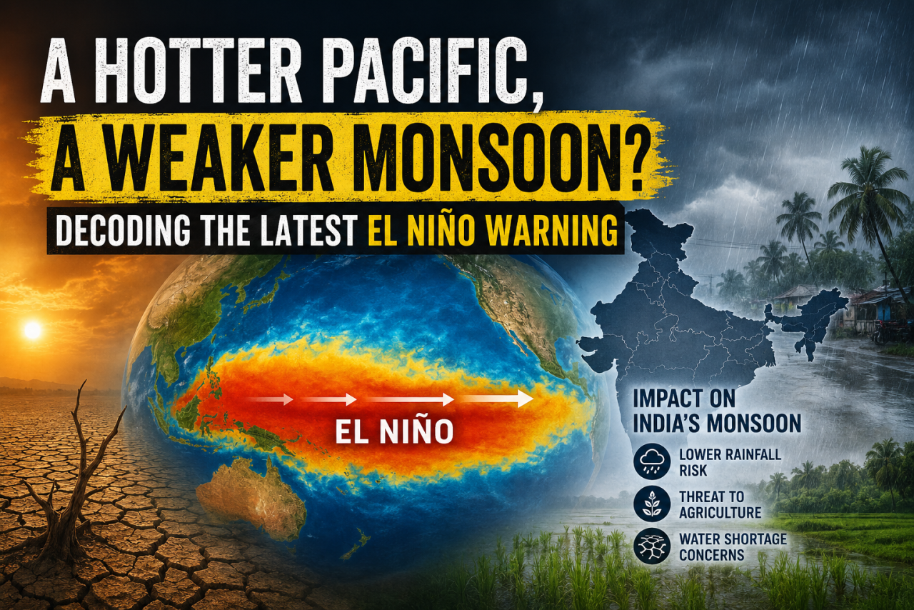
Meteorologists have identified an emerging El Niño phase, and early climate projections suggest that by 2027 it could strengthen into what scientists describe as a "Super El Niño," a category reserved for the strongest events ever recorded.
During El Niño years, unusually warm surface waters in the Pacific weaken the atmospheric circulation that normally carries moisture toward the Indian subcontinent. As a result, the southwest monsoon often becomes weaker, rainfall turns more erratic, and temperatures rise across much of India.
The impacts extend far beyond South Asia. Weather models have already linked El Niño to disruptions in South America's weather patterns and widening rainfall deficits across parts of East Africa. Ocean-monitoring satellites and deep-sea buoys tracking heat beneath the Pacific surface have detected the developing event months in advance, giving governments and farmers valuable time to prepare.
For a city like Delhi, located far from the coast, the connection may seem distant. However, the atmosphere operates as a connected system. Changes in Pacific Ocean temperatures influence monsoon winds, which determine how much rainfall reaches the plains of North India, how long dry periods persist between showers, and how much humidity accumulates in the atmosphere.
The sticky air beneath Delhi's cloudy skies is therefore not merely a local weather event. It is one visible sign of a much larger climate system shifting across the globe.
Why a Weak Monsoon Still Feels So Heavy
There is a clear scientific explanation for why warmer conditions create such uncomfortable weather.
For every one-degree Celsius increase in global temperature, the atmosphere can hold roughly seven percent more water vapour. That additional moisture does not disappear. Instead, it remains suspended in the air until conditions become suitable for rainfall.
When those conditions fail to develop, humidity continues to build, producing long stretches of cloudy, muggy weather without significant rain. When rainfall finally occurs, it is increasingly likely to arrive as short, intense downpours rather than the steady, widespread showers on which India's agriculture and water systems have traditionally depended.
This changing rainfall pattern carries serious consequences beyond daily discomfort. Irregular precipitation disrupts crop sowing schedules, delays the replenishment of reservoirs, and increases pressure on groundwater resources. Even if seasonal rainfall totals appear normal, poor distribution can still cause significant agricultural and water-management challenges.
What This Means Going Forward
Weather agencies indicate that the current El Niño is expected to strengthen through September, with its effects potentially extending well beyond this year. If the projected Super El Niño develops in 2027, India could face consecutive seasons of below-normal and highly uneven rainfall, followed by an exceptionally hot year.
Preparing for such conditions cannot begin after the rains fail. Reservoir management, groundwater recharge, climate-resilient farming practices, and timely crop advisories must all be strengthened well in advance.
For now, the grey skies hanging over Delhi-NCR are more than a broken promise of rain. They are a warning that the monsoon is changing. It has not disappeared, but it is no longer following the seasonal rhythm that generations of Indians have relied upon.
Understanding why the sky looks the way it does today may be the first step toward preparing for the climate challenges of tomorrow.
Disclaimer: This article is based on meteorological analysis and publicly available weather information, including data and forecasts from the India Meteorological Department (IMD) and other climate monitoring agencies.
For the last several days, Delhi-NCR has been waking up to a sky covered with thick grey clouds. By afternoon, the air feels unusually heavy, yet the much-expected rain never arrives. This is not just a temporary weather quirk. It reflects a changing monsoon pattern that climate scientists believe will become more frequent, and possibly more severe, over the rest of this decade.
The Sky That Promises but Never Delivers
Overcast skies without rainfall create a unique kind of discomfort. Thick cloud cover traps heat close to the ground instead of allowing it to escape during the night. At the same time, moisture continues to rise through evaporation from the soil, rivers, lakes, and other water bodies. Without rainfall to release that moisture, humidity keeps increasing.
The result is the sticky, exhausting weather that people across Delhi-NCR are currently experiencing. Even when temperatures are similar to those during a dry heatwave, the high humidity makes conditions feel much more oppressive.
This year, the southwest monsoon over northern India has remained weak and uneven. Long dry spells have been interrupted by sudden bursts of heavy rainfall in some regions, while others, including Delhi-NCR, have endured days of moisture-laden air without meaningful rain. This uneven pattern reflects what climate scientists have warned about for years. Rainfall is becoming increasingly unpredictable in both timing and location, even when the season's total rainfall appears close to normal.
The El Niño Connection
Behind this instability lies a much larger force operating thousands of kilometres away in the Pacific Ocean.
Meteorologists have identified an emerging El Niño phase, and early climate projections suggest that by 2027 it could strengthen into what scientists describe as a "Super El Niño," a category reserved for the strongest events ever recorded.
During El Niño years, unusually warm surface waters in the Pacific weaken the atmospheric circulation that normally carries moisture toward the Indian subcontinent. As a result, the southwest monsoon often becomes weaker, rainfall turns more erratic, and temperatures rise across much of India.
The impacts extend far beyond South Asia. Weather models have already linked El Niño to disruptions in South America's weather patterns and widening rainfall deficits across parts of East Africa. Ocean-monitoring satellites and deep-sea buoys tracking heat beneath the Pacific surface have detected the developing event months in advance, giving governments and farmers valuable time to prepare.
For a city like Delhi, located far from the coast, the connection may seem distant. However, the atmosphere operates as a connected system. Changes in Pacific Ocean temperatures influence monsoon winds, which determine how much rainfall reaches the plains of North India, how long dry periods persist between showers, and how much humidity accumulates in the atmosphere.
The sticky air beneath Delhi's cloudy skies is therefore not merely a local weather event. It is one visible sign of a much larger climate system shifting across the globe.
Why a Weak Monsoon Still Feels So Heavy
There is a clear scientific explanation for why warmer conditions create such uncomfortable weather.
For every one-degree Celsius increase in global temperature, the atmosphere can hold roughly seven percent more water vapour. That additional moisture does not disappear. Instead, it remains suspended in the air until conditions become suitable for rainfall.
When those conditions fail to develop, humidity continues to build, producing long stretches of cloudy, muggy weather without significant rain. When rainfall finally occurs, it is increasingly likely to arrive as short, intense downpours rather than the steady, widespread showers on which India's agriculture and water systems have traditionally depended.
This changing rainfall pattern carries serious consequences beyond daily discomfort. Irregular precipitation disrupts crop sowing schedules, delays the replenishment of reservoirs, and increases pressure on groundwater resources. Even if seasonal rainfall totals appear normal, poor distribution can still cause significant agricultural and water-management challenges.
What This Means Going Forward
Weather agencies indicate that the current El Niño is expected to strengthen through September, with its effects potentially extending well beyond this year. If the projected Super El Niño develops in 2027, India could face consecutive seasons of below-normal and highly uneven rainfall, followed by an exceptionally hot year.
Preparing for such conditions cannot begin after the rains fail. Reservoir management, groundwater recharge, climate-resilient farming practices, and timely crop advisories must all be strengthened well in advance.
For now, the grey skies hanging over Delhi-NCR are more than a broken promise of rain. They are a warning that the monsoon is changing. It has not disappeared, but it is no longer following the seasonal rhythm that generations of Indians have relied upon.
Understanding why the sky looks the way it does today may be the first step toward preparing for the climate challenges of tomorrow.
Disclaimer: This article is based on meteorological analysis and publicly available weather information, including data and forecasts from the India Meteorological Department (IMD) and other climate monitoring agencies.



















Leave a Comment