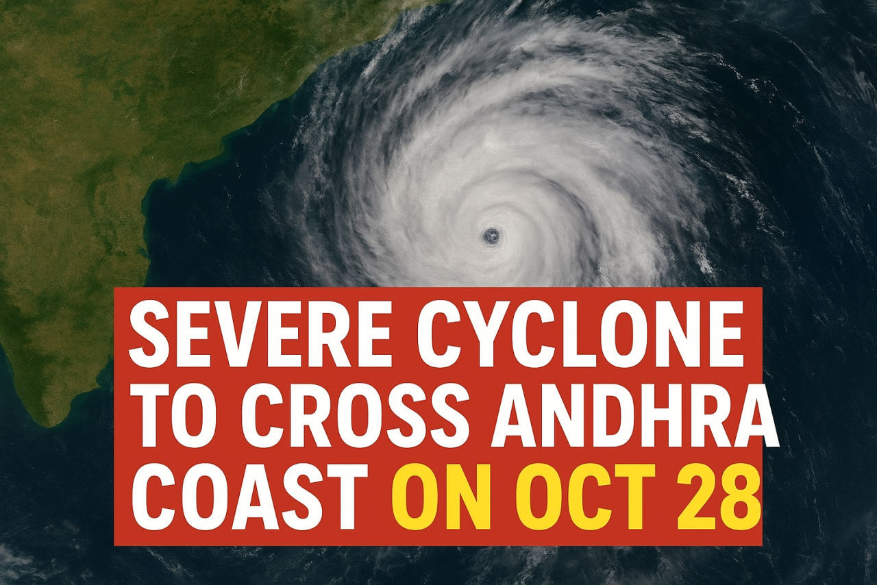
As Andhra Pradesh prepares for another test of resilience, the India Meteorological Department (IMD) has warned that a severe cyclone is likely to make landfall along the state’s coast on the night of October 28. Currently, a deep depression over the Bay of Bengal, is expected to intensify into a severe cyclonic storm within the next 48 hours. Authorities have urged people living in coastal districts to remain alert and follow safety instructions closely.
According to IMD’s latest update, the cyclone is projected to cross between Machilipatnam and Kakinada as a severe system, packing wind speeds between 90 and 100 kmph, with gusts reaching up to 110 kmph. The cyclone is expected to bring heavy to very heavy rainfall across Andhra Pradesh, Odisha, and parts of West Bengal. The weather department has already issued a pre-cyclone alert for the coastal areas of Andhra Pradesh, Yanam, and adjoining regions of southern Odisha.
The depression first formed over the west-central Bay of Bengal and gradually gained strength. As of now, it was located around 990 km southeast of Visakhapatnam and 1000 km southeast of Kakinada. Meteorologists expect it to continue moving northwestwards, turning into a cyclonic storm by the evening of October 27 before making landfall the next night.
Heavy rain is likely to lash several districts, including Visakhapatnam, East Godavari, West Godavari, Krishna, and Guntur. Fishermen have been strictly advised not to venture into the sea for the next few days, as sea conditions are expected to become extremely rough. The government has also started preparing for possible evacuation in low-lying coastal villages.
Andhra Pradesh’s disaster management authorities have begun coordination meetings to ensure that relief camps, medical teams, and emergency supplies are ready. District collectors have been instructed to stay on high alert, monitor water levels in reservoirs, and make arrangements to shift residents from vulnerable areas if needed. The National Disaster Response Force (NDRF) and State Disaster Response Force (SDRF) teams are being deployed in key regions to assist in rescue and relief operations.
Meteorologists have clarified that the storm’s intensity could increase as it nears the coast, although its exact path may slightly change depending on sea surface temperature and wind conditions. The IMD has assured that it will continue issuing regular updates to keep the public informed.
Meanwhile, a separate weather system over the Arabian Sea is also under observation. However, officials have confirmed that it poses no threat to the east coast. A western disturbance is likely to cause rain over parts of Gujarat, Rajasthan, and the Western Himalayas, but it will not interact with the cyclone forming in the Bay of Bengal.
Experts have advised people living in coastal districts to prepare emergency kits with essential items such as drinking water, dry food, first-aid supplies, flashlights, and important documents. Residents should avoid traveling during the cyclone, keep mobile phones charged, and stay indoors once strong winds begin. It is also important to stay tuned to official announcements from the IMD and local administration rather than relying on unverified social media posts.
Farmers have been urged to take preventive measures to minimize crop damage, particularly in areas cultivating paddy and horticultural crops. Authorities are also monitoring the safety of power lines, communication networks, and coastal roads, which may face disruptions during the storm.
Dr. Mahesh Palawat, vice president of climate and meteorology at Skymet Weather, said that while the cyclone will primarily affect Andhra Pradesh’s coast, its outer bands may cause light rainfall in parts of North India due to cloud movement. He emphasized that over the hills, there might be light snow or rainfall linked to a separate western disturbance, but there will be no direct connection between the two systems.
With just a day left before the cyclone’s expected landfall, the focus is on preparedness and public safety. People are encouraged to remain calm, act responsibly, and assist vulnerable members of their communities. Timely information, cautious planning, and community cooperation can greatly reduce the risk posed by severe weather events like this one.


